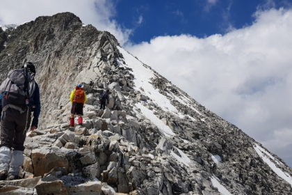
distance: 30.800km, dénivelé: 1er jour: +1550m 2ème jour: +1000m, -2550m, durée totale 15h00 Photos:https://www.facebook.com/pg/Randonn%C3%A9e-MJC-Ayguesvives-657476148022506/photos/?tab=album&album_id=712681025835351 Trace GPS 1er jour:https://ignrando.fr/fr/parcours/fiche/details/id/536262/ Trace GPS 2ème jour:https://ignrando.fr/fr/parcours/fiche/details/id/536263/ défilé du parcours sur RELIVE:https://www.relive.cc/view/g36599514809 Nota: la trace GPS est fournie a titre indicatif et son usage reste sous la responsabilité de celui Read More …

